
From the Cévennes mountains to the Mediterranean, passing through the Camargue and the banks of the Vidourle, Gard boasts 9,000 km of marked hiking trails, labeled “Gard pleine nature” (Gard full nature). Located between the Cévennes and the sea, Camping Les Amandiers provides easy access to most of these routes.
Here are eight hikes to do in Gard, categorized by area, with their distance, duration, and profile.
Several hiking starting points are located in the immediate vicinity of the campsite. Gallargues-le-Montueux is situated on the edge of the Vidourle and at the border of the hills overlooking the Petite Camargue plain.
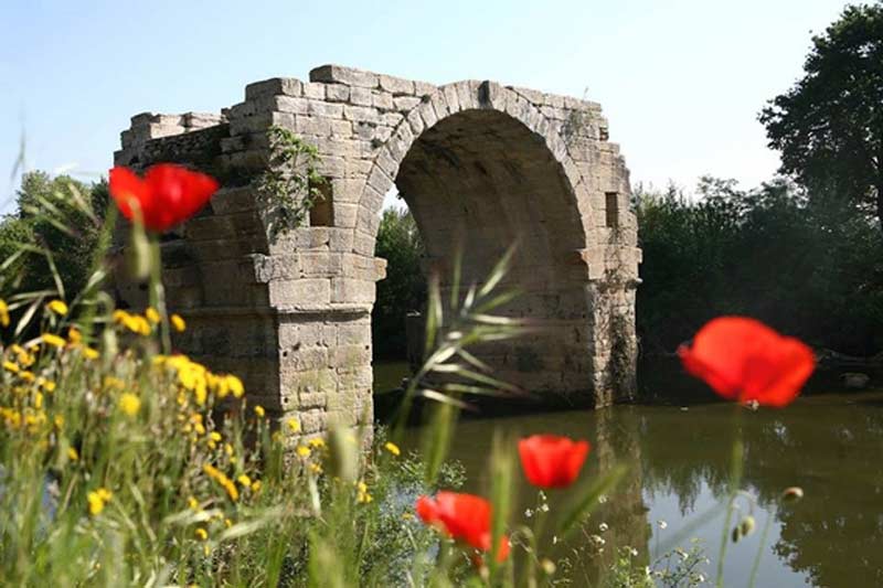
Ambrussum is an ancient site from the 4th century BC, encompassing the ruins of a Roman village spread over 5 hectares. It features the Ambrussum oppidum, its archaeological museum, and the Ambroix bridge. The trail alternates between ancient ruins, garrigue, and pine forests. Allow an extra 1 hour 20 minutes of walking if you start from the campsite.
4.44 km, 1h10, flat trail.
Circuit details on Komoot
From the village of Calvisson, several trails lead to the mills, ranging from 4 km for the shortest to 18 km for the longest. The path crosses a shaded forest before reaching the Roc de la Gachone and its three 17th-century mills. At the summit, the view is 360 degrees, from the Mediterranean to the Cévennes, including Pic Saint-Loup and Mont Ventoux.
4 km, 1h20, elevated trail.
This circuit goes up the Vidourle valley from Villevieille Castle. The route crosses woods and vineyards, where you’ll encounter washhouses, old farmhouses, and fountains, before following the banks of the Vidourle with its emerald reflections. The walk is accessible to everyone.
8 to 16 km, 2h30 to 5h, flat trail.
Located in the northern part of the department, the Gard Cévennes offer a landscape of hills and wide views of the southern plain. This is the area to choose for experienced hikers, and a must-see for anyone who wants to visit Gard beyond the coast.
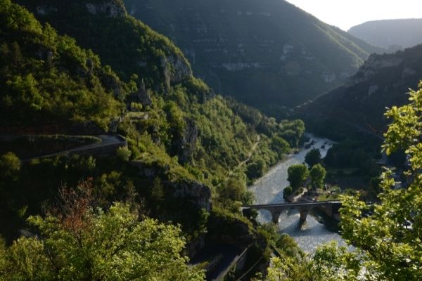
This hike leads to the Navacelles Cirque, one of Europe’s widest canyons, straddling Gard and Hérault. Several trails exist, for all levels. The area also features the Vis gorges, mills, dolmens, and menhirs.
9 to 17 km, 3h to 6h, hilly trail.
Circuit details on Visorando
The most famous hike in the Cévennes. The full loop, at 25 km, is for experienced hikers, but a shorter route starts from the Aire-de-Côte gîte. The trail crosses forests, undergrowth, streams, and ridges before reaching the Mont Aigoual meteorological observatory. On a clear day, the view extends from the Alps to the Pyrenees and from the Mediterranean to the Massif Central.
16 to 25 km, 5h to 7h30, elevated trail.
Circuit details on AltitudeRando
An easy hike in the heart of the Cévennes National Park. The path is lined with typical southern flora, and the pass opens onto the Gardon valley. Its unique feature: the possibility of exploring the Valaurie Cave and its 300 meters of galleries. Remember to bring a flashlight.
7.35 km, 2h40, elevated and underground trail.
The campsite is located in Petite Camargue, the part of the Camargue between the Petit Rhône and the Vidourle. The hikes here are flat and accessible, set in a landscape of lagoons and marshes.
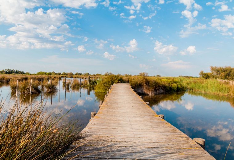
This route crosses one of the last intact natural areas of the Languedoc coast. It starts from Le Grau-du-Roi beach, follows Espiguette beach, then delves into the Camargue lagoons. Herons, coypus, and pink flamingos are common here.
5 km, 1h20, flat trail.
Circuit details on AllTrails
This trail begins 4 km from Saint-Gilles and winds through typical Camargue vegetation. It passes around a manade, the name given to herds of bulls, and several marshes, allowing observation of animals in their environment.
6 km, 2h, flat trail.
The Camargue Natural Park covers over 850 km². There are numerous routes, technically accessible to all, with only the distance varying. From salt marshes to wild ponds, it’s one of the best places in France for birdwatching.
1h30 to 7h, flat trail.
Camping Les Amandiers, a 4-star campsite in Gallargues-le-Montueux, is located at the crossroads of three areas: Petite Camargue to the south, the Cévennes to the north, and the Vidourle circuits nearby. This allows you to alternate hiking profiles from one day to the next without changing accommodation.
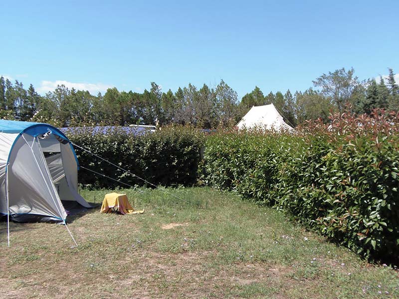
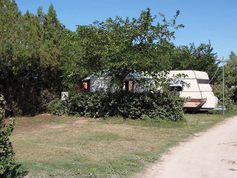
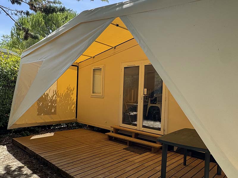
After a day of walking, you can enjoy the campsite’s water park and restaurant. For accommodation, choose between our mobile homes for 2 to 4 people, our family models for 5 to 6 people, and our pitches for tents or caravans.
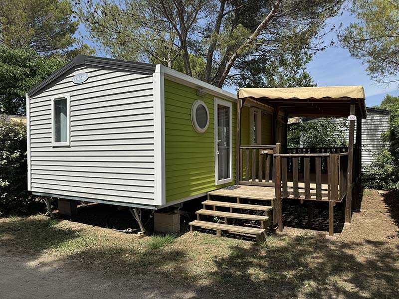
Mobile Homes
The Gard department has approximately 9,000 kilometers of marked trails, labeled “Gard pleine nature” (Gard full nature). They cover very different profiles, from the plains of Camargue to the Cévennes mountains.
The Ambrussum circuit, 4.44 km on a flat trail in 1h10, is one of the most accessible and combines walking with an archaeological site. The Calvisson mills, 4 km in 1h20, are also suitable for families, offering a 360-degree view upon arrival. In Camargue, the coastal path starting from Le Grau-du-Roi takes 1h20 on flat terrain.
The 4000 Steps trail, starting from Valleraugue, is the emblematic hike of the Cévennes. The full loop is 25 km and takes between 5h and 7h30. It leads to the Mont Aigoual observatory. A shorter route is possible from the Aire-de-Côte gîte.
Yes, provided you adjust your schedule. In July and August, it is advisable to start early in the morning and avoid the hottest hours. Shaded trails, such as the Calvisson mills or the Cévennes circuits through undergrowth, are more comfortable than open plain routes in direct sun.
Camping Les Amandiers, a 4-star campsite in Gallargues-le-Montueux, is located between the Cévennes and the Mediterranean, allowing access to the department’s three major hiking areas. It offers mobile homes for 2 to 6 people and pitches for tents and caravans, with a swimming pool and restaurant on-site.


